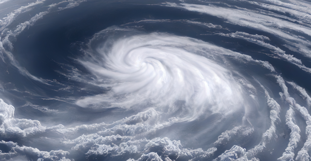
March has already experienced a series of intense storms in America, which have caused destruction and devastation. The first three storms of the month have turned into tornadoes, heavy winds, and severe hail, with widespread damage reported in several states. But just as the storm season was fading away, another fourth major storm is looming, ready to strike the country. Predictors believe this storm may be even more intense, affecting as many as 13 states. The question is: will it be as damaging as the past storms? With high winds, flood rains, and tornadoes all on the table, the tension is growing. Buckle up for what may be the most powerful storm yet.
The Storms We’ve Seen So Far
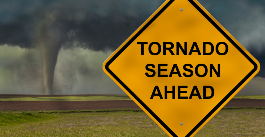
March has already proven to be a merciless month, with three violent storms causing destruction all over the United States. The storms have included historic levels of tornado activity, with over 220 tornadoes touching down in weeks. In addition to the tornadoes, there have been 1,900 reports of severe weather, including hail, high wind, and flash flooding. The 2025 storm season has been relentless with intense weather patterns almost doubling since last year. Texas, Louisiana, and Arkansas have been impacted the most, but no state went unscathed. And it’s only mid-month, as the nation is waiting for yet another devastating storm that will make this season one of history’s deadliest.
What’s Coming Next?
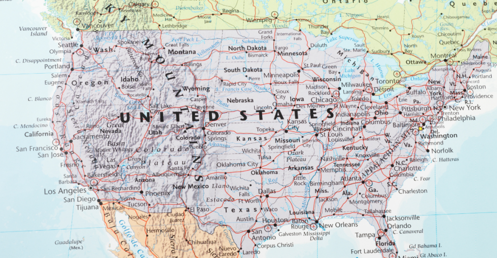
Just when things couldn’t get any worse, meteorologists are reporting a new storm system will strengthen over the central U.S. by the weekend. It will be the fourth significant storm in March, and it could impact up to 13 states, with potential for widespread devastation. The storm is forecasted to cause severe weather, including high winds, large hail, and even possibly tornadoes. What is unique about this storm is the way moisture, warmth, and severe weather systems interact. These aspects can bring about even more intense weather, and it will become more difficult for communities to prepare for them. After this storm travels east, states in its path need to get ready for its complete force.
The Southern System’s Impact
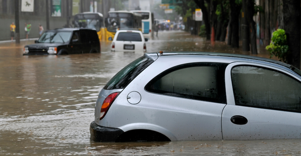
Texas and the surrounding southern states will bear the worst of this upcoming storm, with flash flooding and heavy rain set to start Thursday and last through Friday. Because recent storms are a relatively fresh memory for people, residents in these areas are bracing for even more damage. Flash flooding is a primary concern, especially in already waterlogged areas with heavy rain. The roads will likely be inundated with water, so traveling will become nearly impossible, and there’s an increased danger of rivers and streams overflowing. Along with the flooding, the rain will likely come with strong winds, too, which will complicate rescue and recovery. The southern states are battening down the hatches in anticipation of potentially another treacherous cycle of severe weather.
The Competing Weather Systems
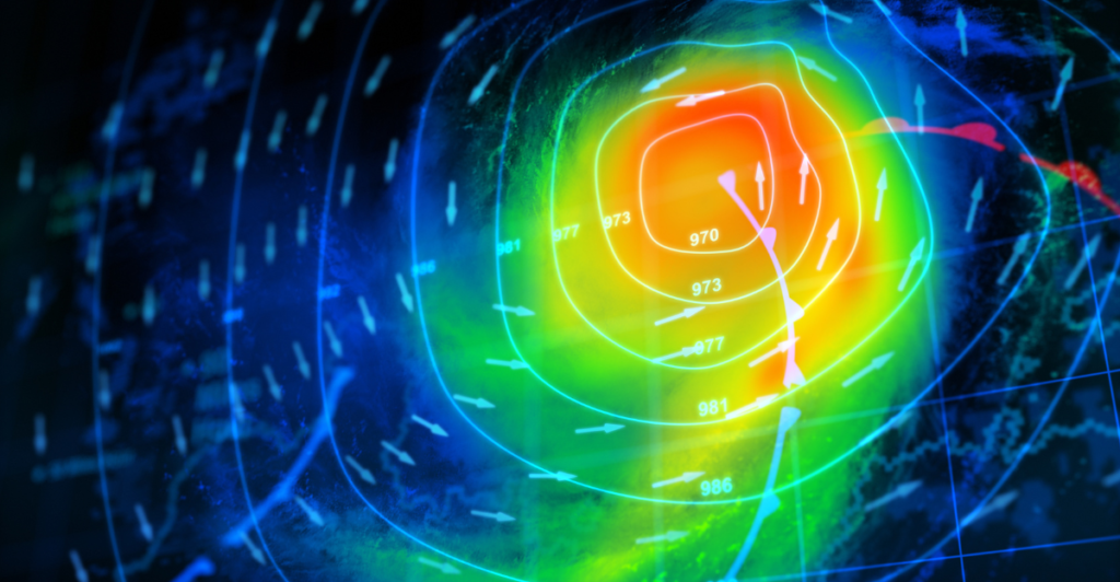
What makes this storm so dangerous is that two powerful systems are coming together. The south’s storm, which is already intensified, will meet another system forming in the west by Saturday. The warm, wet air from the south will meet the cold, dry air from the western system, and there will be an unstable blend. This crash could produce even more damaging weather, such as tornadoes and severe thunderstorms. The Mississippi Valley is most vulnerable, with predicted damaging winds and possibly violent tornadoes. As the systems become more involved, the potency of the storm intensifies and the danger of widespread destruction escalates. It’s a recipe for disaster and it’s coming right at the U.S.
Tornado Threats and Hailstorms

The merger of atmospheric instability and strong winds would favor the formation of tornadoes, with the highest threat posed in the Mississippi Valley. Weather forecasters state that the fourth storm of the month is set to bring a deadly combination of hail of tennis ball size or larger, tornadoes, and gusty winds in the region. The tornadoes would be intense and prolonged and result in widespread destruction in Arkansas, Tennessee, and Mississippi. In addition to the tornadoes, the storm will also generate severe hailstorms that will ruin crops, vehicles, and roofs. There is the possibility of widespread destruction, and this is made worse by the fact that this storm is just the most recent in a long series of disastrous weather phenomena. As the storm continues east, cities need to be prepared for the worst.
Dust Storms and Wildfire Risks
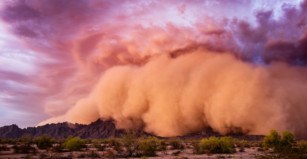
While the southern United States is experiencing flooding and excessive rain, the High Plains have a different type of threat: dust storms. The strong gusts of this storm system will blow dirt and garbage onto the highways, making travel conditions on highways dangerous and potentially leading to widespread visibility problems. The gusts will also heighten the risk of wildfires in already dry areas. Dry brush and grass in Texas, Oklahoma, and New Mexico can catch fire and produce rapidly moving wildfires. Both fire and dust storms combined are a deadly mixture and will make it that much harder to recover from earlier storms.
Wintry Weather in the North

While the U.S. south is bracing for rain and winds, the northern states are bracing for an entirely different battle. As the storm tracks east, it will deliver a wintry mix of snow, sleet, and freezing rain to states such as Colorado, Wyoming, and the Dakotas. The Upper Midwest region, which includes parts of Minnesota, Wisconsin, Michigan, and even New York and New England, may receive heavy snow and icy conditions, leading to hazardous road travel. These winter weather conditions will still be unable to hold against the ferocity of this storm. The ice and snow could make roads impassable and slow down recovery. Because the storm is tracking east, the U.S. north is preparing for a potentially dangerous end of month.
The Toll on People and Animals
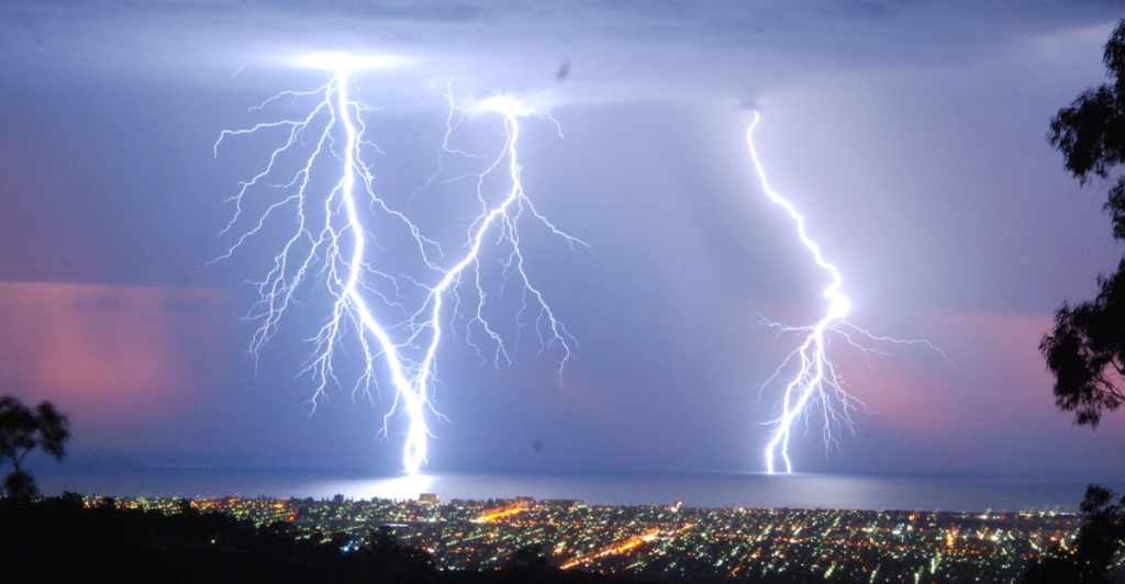
Storms this month have already taken a minimum of 42 lives, a stark reminder of how dangerous these types of weather can be. Missouri, Mississippi, and Oklahoma were some of the most hard-hit states, where dozens died in the wildfires and tornadoes. People are still dazed from having lost loved ones, and survivors are left trying to rebuild after this devastation. The death toll continues to escalate as the storm system moves east, with mortality counts expected to rise. Wildlife has also suffered, with numerous species having their territories swept away by floodwaters, incinerated by wildfires and ferocious winds. This ads yet another layer of environmental devastation to the already gargantuan scale of human devastation. The tornado cycle, dust storms, water inundations, and wildland fires rendered March 2025 the deadliest month so far. This latest storm can possibly break that record, prompting haste in preparations.
Preparation for the Worst
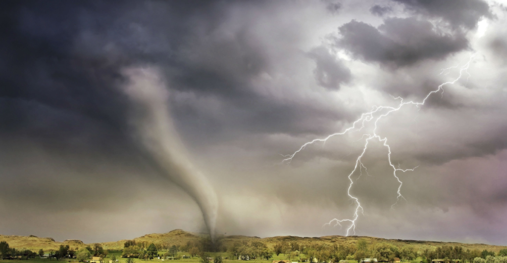
With the fourth big storm of March looming, the threat of widespread devastation hangs in the atmosphere. Those in the path of the storm need to remain vigilant and prepare for the worst by securing property, having emergency supplies ready, and monitoring weather alerts. Emergency management officials nationwide are in high alert mode, but the magnitude of the storm makes it difficult to say just how bad it will be. Areas already battered by previous storms will be particularly vulnerable. It’s certain that this storm will put the nation’s resilience to the test, and people in its path must take all necessary precautions to safeguard themselves and their families. The storm is coming. It’s time to prepare.
Explore more of our trending stories and hit Follow to keep them coming to your feed!

Don’t miss out on more stories like this! Hit the Follow button at the top of this article to stay updated with the latest news. Share your thoughts in the comments—we’d love to hear from you!


