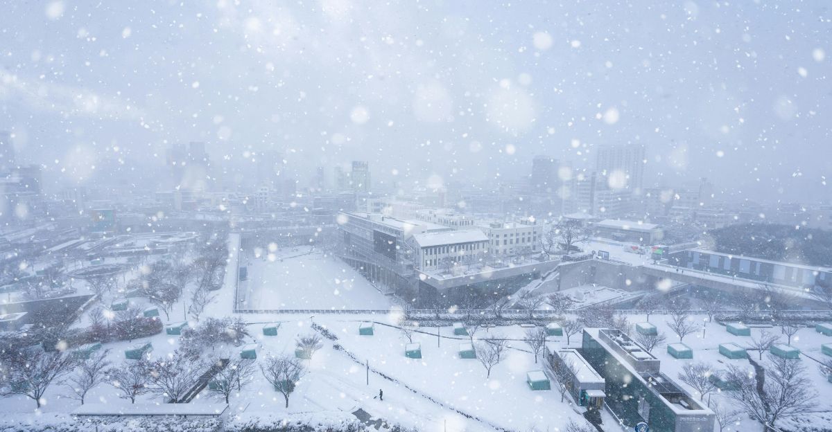
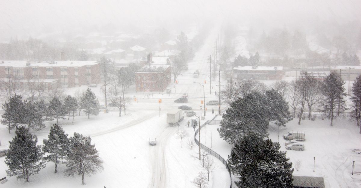
A rare and powerful cold-weather system is set to blanket northwest Montana with significant snowfall, marking an extraordinary event for late June. The National Weather Service (NWS) has issued winter storm watches and warnings for the region, particularly focusing on areas above 6,000 feet in elevation.
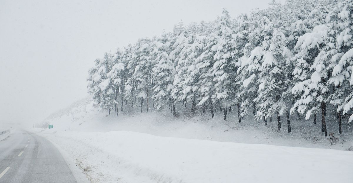
Forecasts predict between 12 and 24 inches of heavy, wet snow for high-elevation zones, with up to 6 inches expected at lower elevations. This unusual weather pattern is expected to disrupt what is typically the start of the summer season, bringing winter-like conditions to the region.
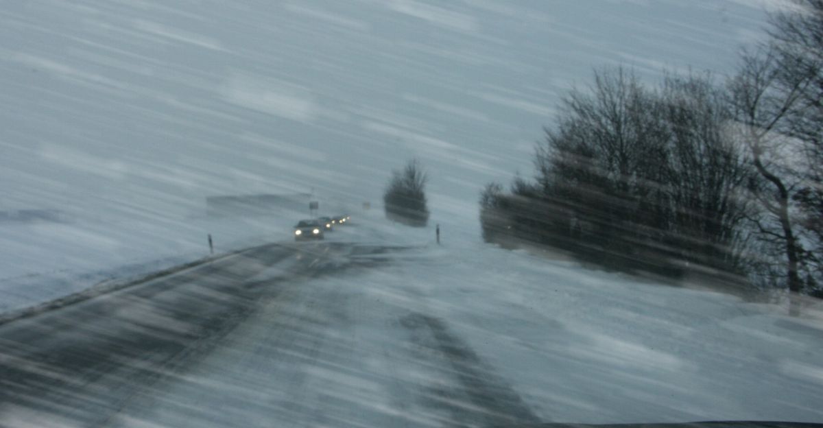
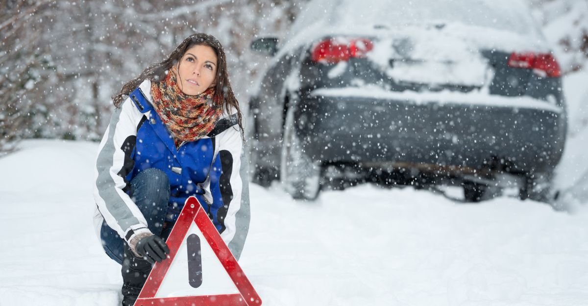
Travel Disruptions and Road Closures
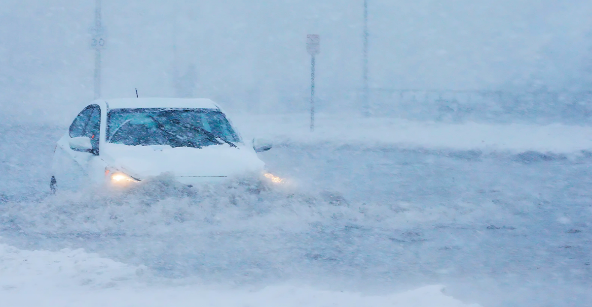
Authorities say the storm could make for dangerous travel conditions across the affected region. Roads such as the Going-to-the-Sun Road in Glacier National Park and U.S. Highway 89 across the Hudson Bay Divide will be particularly hazardous or even impassable.
Temporary closures have already been implemented for alpine sections of key routes, and further closures are likely as the storm progresses. Travelers are strongly advised to avoid non-essential travel and to monitor updates from the NWS and local officials.
Impact on Infrastructure and Power Supply
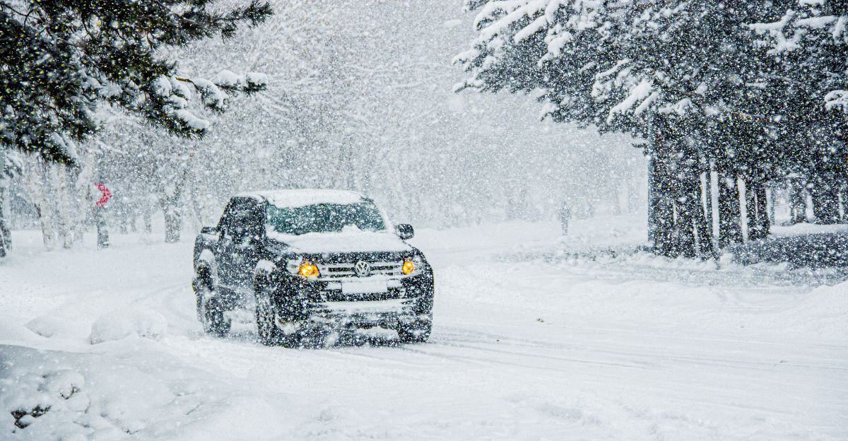
The combination of heavy, wet snow and strong wind gusts, potentially reaching up to 45 to 50 mph, increases the threat for widespread power outages and damage to infrastructure.
The weight of accumulating snow on trees and power lines, combined with gusty winds, may result in downed trees and disrupted power supply. Residences in affected locations should be prepared for potential power outages and ensure they have enough supplies to last through the storm.
Hazards for Outdoor Recreation and Backcountry Activities
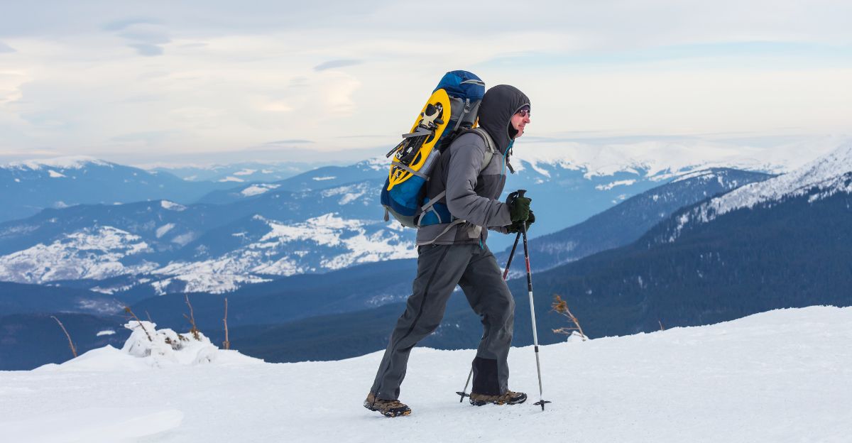
The NWS has warned of significant dangers for anyone participating in outdoor recreation during the storm. Backcountry hikers and campers are at even higher risk for exposure to rapidly changing conditions, such as reduced visibility, icy trails, and the potential for hypothermia.
Officials advise anyone with plans to go outdoors in the region to think again, as emergency response crews could be delayed or unable to get to remote areas because of the storm.
Impact on Local Community and Tourism
The timing of the storm coincides with the start of the summer tourism season, a critical period for the local economy and communities surrounding Glacier National Park.
Closing popular tourism sites and dangerous road conditions is likely to disrupt tourism, affecting visitors and the local economy. Residents are advised to stay informed and prioritize safety, as emergency services may be stretched thin during the storm.
Weather Forecast and Duration
The bulk of the snowfall is expected to occur from Saturday afternoon through Sunday morning, with lingering showers and cool temperatures forecast into Monday.
Highs in the affected high-elevation areas will remain in the 30s and 40s, with valley locations also experiencing unseasonably cool, rainy weather. The NWS will continue to provide regular updates as the situation evolves.
Why This Event Is So Rare
This is not the first time that the northern Rockies have seen snow during June, but the magnitude and timing of this storm make it a rare event. Such substantial snowfall is usually reserved for the winter and early spring months.
The current system is also notable for both its intensity and the widespread area it covers, affecting not just Montana but also parts of Idaho and other neighboring states.
Wildlife Adaptations and Challenges
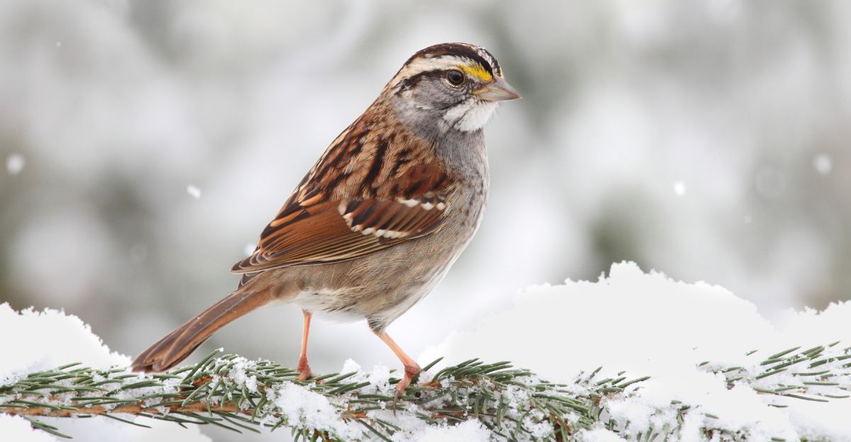
Montana’s wildlife is well-adapted to survive harsh winter weather conditions, but a sudden, heavy snowstorm in late June presents unique challenges to the landscape.
A number of animals, including grizzly and black bears, would typically be on the move and foraging at this time. Some may temporarily retreat to dens or seek shelter, while others, such as lynx and wolverines, use specialized adaptations, like large feet for walking on snow, or teeth for eating frozen meat to survive.
Birds that have laid their eggs during this time of year might have layers of snow piled over their nests. They have to rely on their natural instincts and resilience to keep the eggs and young alive.
Although many species are adapted to harsh conditions, unseasonal storms could still disrupt feeding, migration, and breeding patterns, which may impact local ecosystems.
Community Preparedness and Safety Tips
Residents and visitors are advised to prepare for the storm by stocking up on essentials, securing outdoor items, and monitoring updates from official sources. Emergency kits should contain food, water, flashlights, and additional blankets.
Those residing in rural and mountainous regions face an additional threat because emergency services may be delayed due to road closures or downed trees. Authorities stress the need not to feed wildlife during these events, as this can disrupt natural behaviors and create long-term problems for animal populations.
Monitoring and Recovery
As the storm passes, recovery efforts will focus on clearing roads, restoring power, and assessing damage to infrastructure and natural habitats. The NWS and local agencies will continue to monitor conditions and keep the public informed.
Travelers and residents are encouraged to remain cautious even after snowfall ends, as lingering ice and debris may pose ongoing hazards. The resilience of both the community and local wildlife will be tested, but with proper preparation and caution, the region can weather this extraordinary event.
Explore more of our trending stories and hit Follow to keep them coming to your feed!

Don’t miss out on more stories like this! Hit the Follow button at the top of this article to stay updated with the latest news. Share your thoughts in the comments—we’d love to hear from you!


