
Volcanoes have left quite the mark in the media lately, with one major volcano blowing after another. This ges the question, are these eruptions finally leading up to the “Big One?” A recent satellite image has captured Alaska’s Iliamna Volcano appearing “ready to rumble,” sparking renewed interest in the potential risks posed by this massive, snow-capped stratovolcano.
While this volcano might be more remote than most, it will still have a major impact on the environment and nearby communities.
What the Satellite Image Reveals

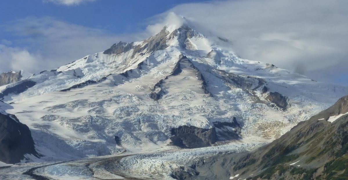
Thanks to advanced imagery, researchers are able to keep a closer eye on some of the most dangerous volcanoes on Earth, like the latest satellite image of Alaska’s Iliamna Volcano, captured by the Operational Land Imager (OLI) on NASA’s Landsat 8 satellite. This remarkable image shows a glacier-covered peak just days before a notable uptick in seismic activity.
While the volcano’s snow-capped slopes appear serene from space, seismic sensors on the ground detected a flurry of tremors shortly after the image was taken. The frequency of the earthquake briefly reached several per minute before subsiding.
Recent Seismic Activity at Iliamna
The Alaska Volcano Observatory reported that the uptick began around 4:30 a.m. local time on June 15, with earthquake frequency quickly ramping to a nearly continuous rate of several tremors per minute. “Initially, the earthquake rate was nearly continuous, with several earthquakes per minute, but this has since slowed to a rate of about one earthquake per minute.” said the Alaska Volcano Observatory (AVO).
This heightened activity persisted for several hours before gradually slowing to about one event per minute and eventually returning to background levels by mid-afternoon. Researchers are keeping a close eye on this rumbling giant because it’s never a good sign to have earthquakes close to any volcano.
Iliamna’s Last Eruption

Mount Iliamna’s last confirmed eruption happened in 1876 and was classified as an explosive event with a Volcanic Explosivity Index (VEI) of 3. Mountains of ashfall reached the Kenai Peninsula, as well as lahars, debris flows, and landslides, all common hazards for an eruption of this size and magnitude.
Some sources suggest that the 1876 event involved a major flank collapse, resulting in debris avalanches and mudflows rather than a classic lava or ash eruption. Since then, Iliamna has been pretty quiet, with only a little rumble here and there. However, with such a long dormancy period and regular seismic activity, this top might just be getting ready to blow.
The Role of Avalanches in Seismic Signals
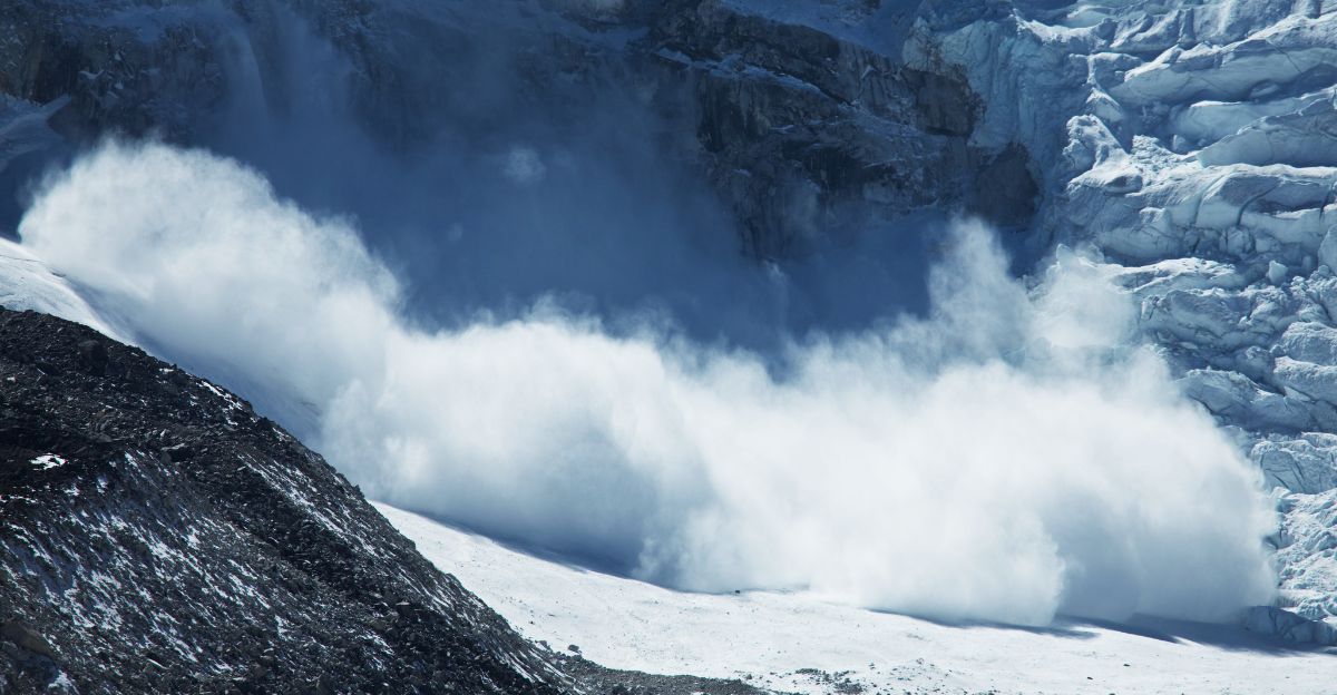
The volcano’s steep, glacier-clad slopes are prone to large ice and rock avalanches, especially as seasonal warming weakens snow and ice or hydrothermal activity alters the underlying rock. These avalanches are so massive that their movement down the flanks of Iliamna produces ground vibrations and infrasound waves strong enough to be detected by seismic monitoring stations miles away.
“This activity is likely not caused by volcanic unrest,” claimed the AVO, pointing towards nearby avalanche activity. In fact, Iliamna’s frequent rumblings are typically the signature of these avalanches, not precursors to eruptions.
Who is Most at Risk Near Iliamna?
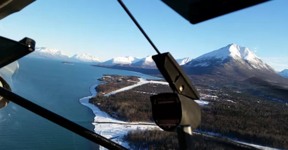
Communities closest to Iliamna Volcano are most at risk in the event of significant volcanic activity or large avalanches. The nearest towns include Pedro Bay (39 miles southwest), Port Alsworth (44 miles northwest), Anchor Point and Happy Valley (both 47 miles southeast), and Ninilchik (49 miles northeast). Anchorage is located about 136 miles to the northeast.
While Iliamna’s remote location and extensive glaciers reduce the immediate threat to large population centers, hazards like ashfall, lahars, and debris avalanches could still impact these communities. If an eruption is big enough, these large volcanoes can affect millions of people, making them a constant risk.
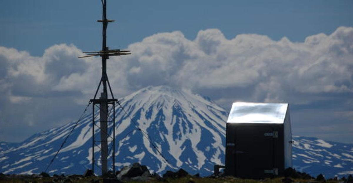
Monitoring and Early Warning Systems
Iliamna Volcano is closely monitored using a combination of local seismic, infrasound, web camera, GNSS (GPS) stations, regional infrasound and lightning networks, and satellite observations. These monitoring systems help scientists detect subtle changes in seismicity, ground deformation, and atmospheric emissions that could signal volcanic unrest or large avalanches.
The Alaska Volcano Observatory (AVO) regularly evaluates data from these systems to assign an alert level and aviation color code, ensuring timely communication with local communities, aviation authorities, and emergency responders.
Other Volcanoes Showing Signs of Activity

The recent rumbling goes far beyond Alaska’s borders, as quite a few large volcanoes have been making themselves heard. In Alaska, Great Sitkin Volcano continues its slow eruption of lava within the summit crater. It maintains an elevated alert level and aviation color code due to persistent, low-level seismicity and occasional rockfalls from the growing lava dome. Mount Spurr, another Alaskan volcano, remains under an advisory alert with slightly elevated seismicity and ongoing unrest, although no significant surface changes have been observed recently.
Meanwhile, Hawaii’s Kīlauea volcano is erupting spectacularly. Recent episodes have sent lava fountains hundreds of feet into the air and produced volcanic gas and tephra hazards within Hawaii Volcanoes National Park.
Health Risks from Volcanic Eruptions

Besides the direct impacts of these eruptions on the environment, the release of ash, gases, and other hazardous materials can travel for miles on end, affecting areas further away. Inhalation of volcanic ash can cause immediate respiratory issues like coughing, throat irritation, shortness of breath, and exacerbation of asthma or other chronic lung conditions, especially among sensitive groups like children, the elderly, and those with pre-existing respiratory or heart problems.
Fine ash particles can penetrate deep into the lungs, and volcanic gases can further irritate the eyes, nose, and throat and, at higher concentrations, may cause suffocation or acute respiratory distress. While healthy individuals may experience only mild, temporary symptoms, those in sensitive groups are at greater risk for serious health problems.
The Future of Volcano Monitoring
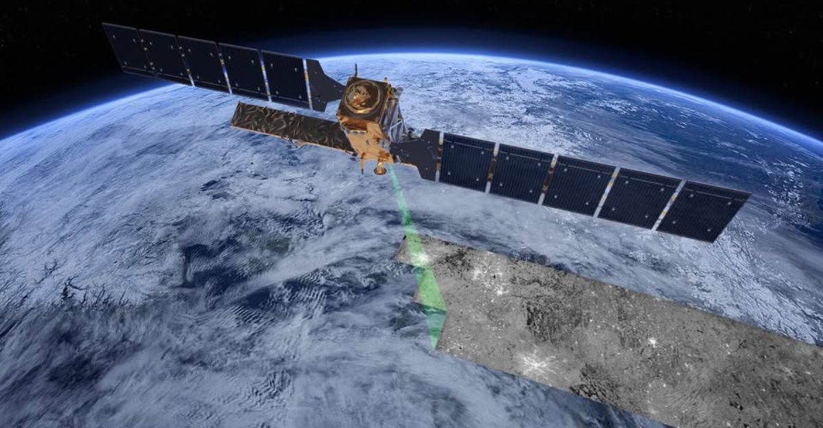
As technology keeps improving and more advancements become available, detecting possible eruptions becomes easier and easier. New radar-based systems like VolcSARvatory, developed in Alaska and now expanding across the U.S., use interferometric synthetic aperture radar (InSAR) to detect ground movement changes as small as one centimeter, enabling earlier and more consistent detection of volcanic activity.
Satellite technology, including high-resolution optical and thermal sensors on platforms like Landsat and Sentinel, provides near real-time data that can be integrated to track lava flows, ash plumes, and subtle surface changes even under cloudy conditions. Innovations like these help researchers keep an eye on these massive threats that can blow at any time.
Explore more of our trending stories and hit Follow to keep them coming to your feed!

Don’t miss out on more stories like this! Hit the Follow button at the top of this article to stay updated with the latest news. Share your thoughts in the comments—we’d love to hear from you!


