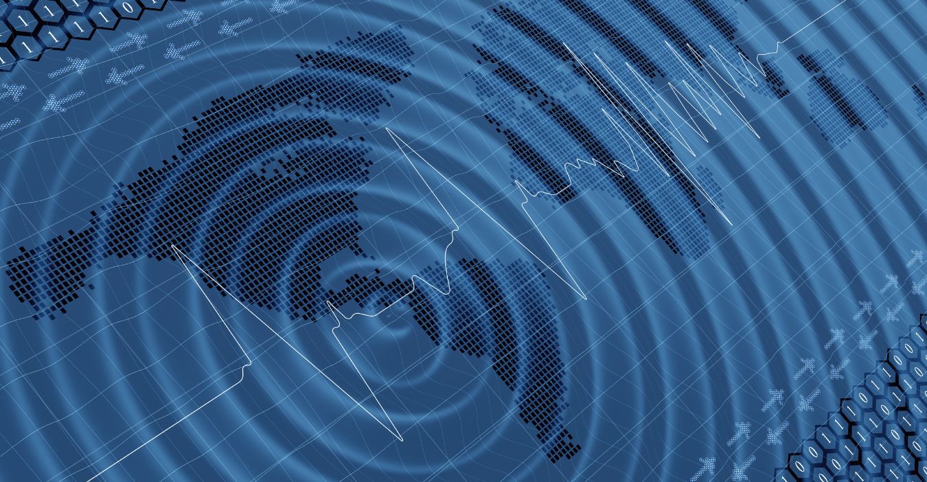
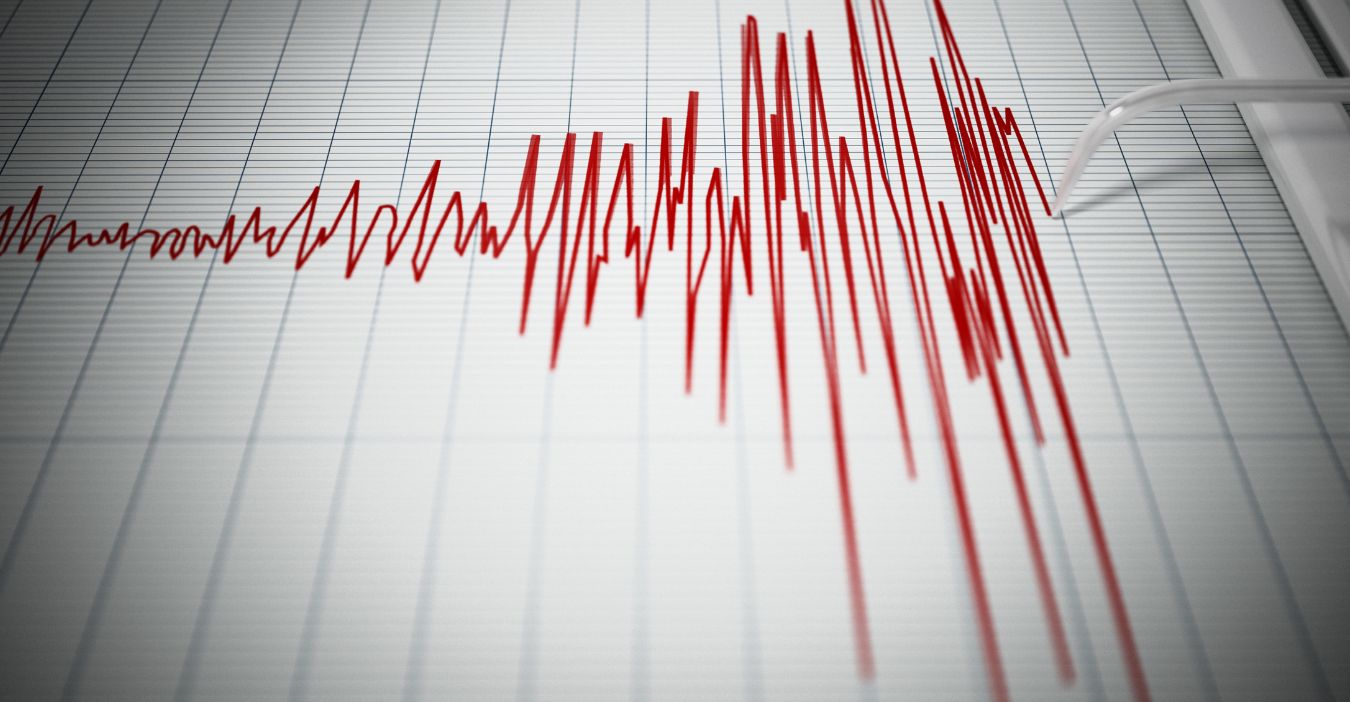
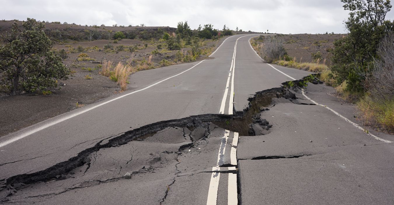
A new study by Virginia Tech warns that a major earthquake along the Cascadia subduction zone, which stretches up the Pacific Northwest, could cause coastal land to subside by as much as 6.5 feet in just a matter of minutes. This sudden subsidence would expand flood-prone areas by over 100 square miles, threatening thousands of residents, infrastructure, and ecosystems.
Unlike tsunamis, this land sinking permanently increases flood risk, complicating recovery. The Cascadia fault, which runs from northern California to southern British Columbia, has produced devastating quakes in the past, though it has been relatively quiet since 1700. This study reveals a hidden, long-lasting hazard beyond shaking and tsunamis that demands urgent attention.
Understanding the Cascadia Subduction Zone Threat
The Cascadia subduction zone is the fault where the Juan de Fuca plate slides beneath the North American plate, creating potential for massive earthquakes. This fault can generate earthquakes comparable to the 2004 Sumatra and 2011 Japan disasters.
The last major quake was in 1700, and the record of geological findings has recorded 11 such earthquakes over 7,000 years, occurring between 200 and 800 years apart. The stress has built up, making “The Big One” inevitable.
Unlike other faults, Cascadia’s subduction mechanism can cause coastal land to suddenly drop, increasing flood risk and tsunami danger, posing a unique threat to Pacific Northwest communities.
Key Findings of the New Virginia Tech’s Research
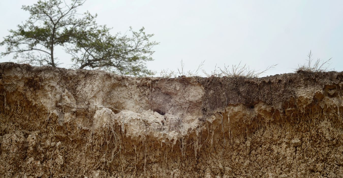
Researchers at Virginia Tech modeled tens of thousands of earthquake scenarios to calculate how much the coast would drop after a big Cascadia quake. They determined that the land could sink by up to 6.5 feet almost instantly.
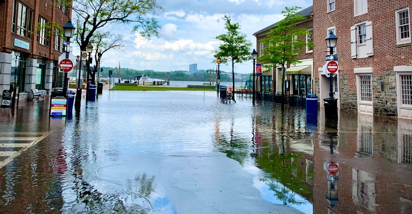
That would permanently increase the number of areas prone to flooding, particularly in southern Washington, northern Oregon, and northern California. The study measures the number of residents, structures, and roads that would be subjected to flooding and exposes a danger that many current estimates are drastically underestimating.
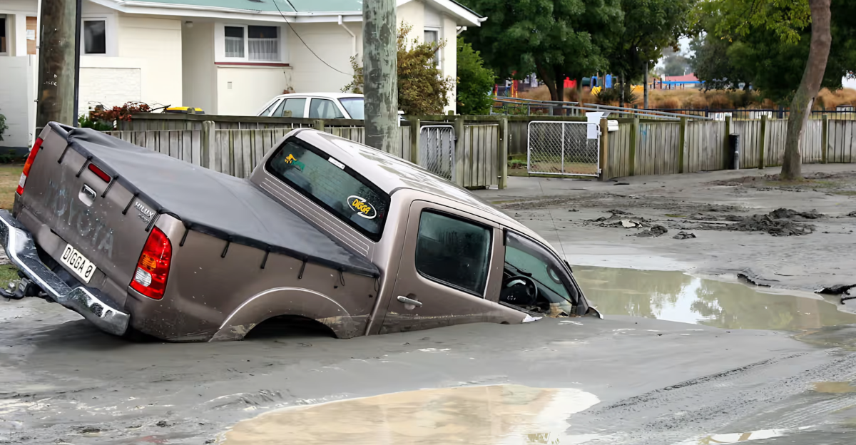
Unlike temporary tsunami damage, flooding driven by subsidence would be a permanent threat, reshaping coastlines and communities for decades longer.
Human Impact and Infrastructure Vulnerability
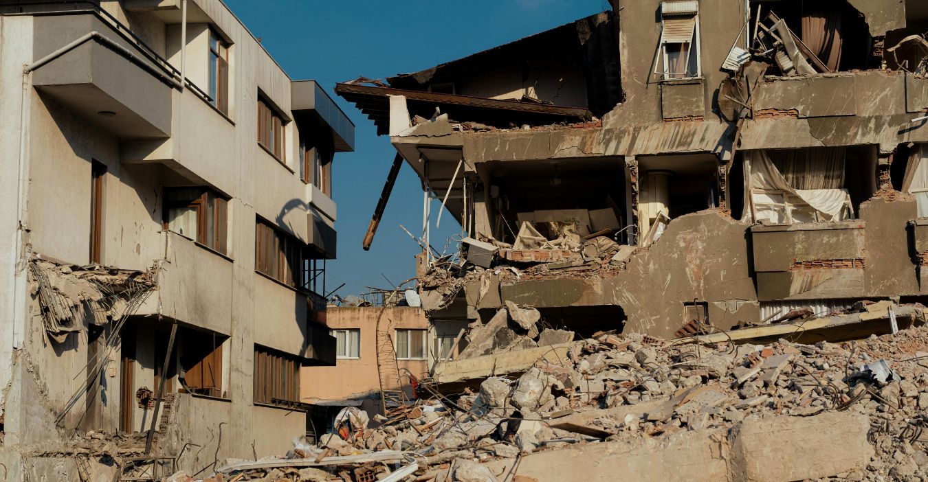
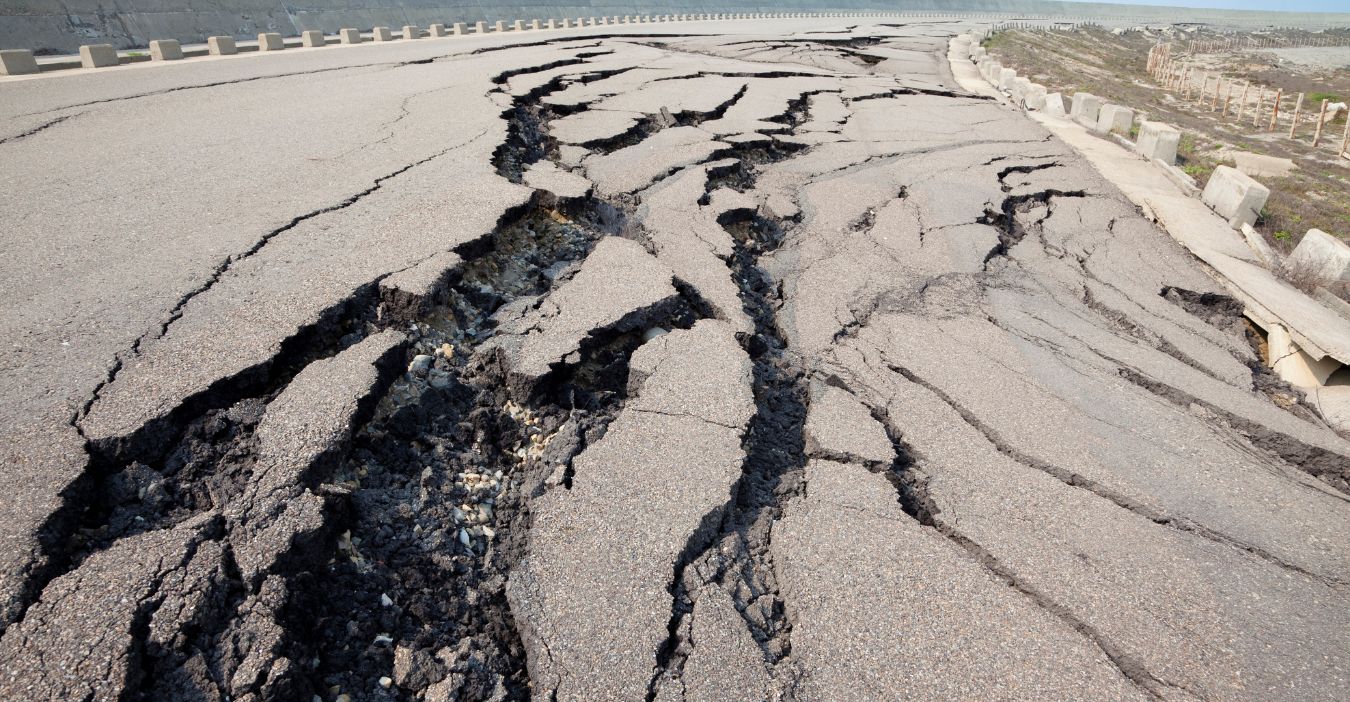
The expanded floodplain would immediately impact over 14,000 people and 22,500 structures, including homes, schools, hospitals, and emergency services. Nearly 800 miles of roads would be at risk, complicating any evacuation and rescue efforts. Airports and vital utilities, including electric substations and wastewater plants, would also face flooding, disrupting essential services at a time when they are most in demand.
Contaminant sources such as gas stations and waste sites might leak pollutants that would exacerbate public health dangers. This permanent land sinking would mean many communities would face long-term displacement and infrastructure rebuilding, meaning recovery would be much more complex than just from shaking or tsunami damage alone.
Ecological Implications for Coastal Ecosystems and Biodiversity
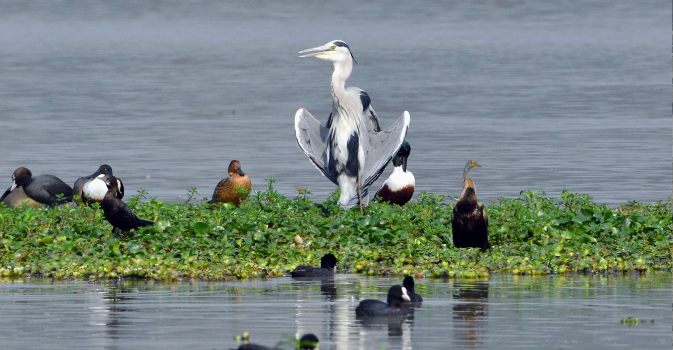
Coast subsidence would wreak havoc on estuaries, wetlands, and intertidal zones that protect shorelines and provide habitats for diverse species. These ecosystems act as natural buffers against storms, filter water, and store carbon to help combat climate change. Flooding and erosion would permanently alter habitats, threatening fish, birds, and plant species.
Many wetlands could be lost or fail to migrate inland due to human development, causing irreversible biodiversity loss. The collapse of these ecosystems would disrupt food webs and ecosystem services, reducing resilience to future climate impacts. Protecting these natural buffers is critical to preserving both wildlife and human communities.
Economic and Agricultural Implications
This additional flooding from land subsidence would cause irreversible harm to agriculture by salinizing soils, rendering farmland unusable for years or permanently. Property values in newly flood-prone areas would plummet, causing financial hardship for homeowners, and towns would face disaster.
Insurance may be unobtainable or too expensive, leading to greater economic insecurity. Coastal industries like fishing and tourism would suffer from habitat loss and infrastructure damage.
The overall economic impact would have multiple ripple effects, complicating recovery and increasing inequality. Long-term planning must address these risks to prevent permanent economic decline in affected communities, especially those dependent on agriculture and coastal resources.
Future Earthquake Probability
Over the past 7,000 years, the Cascadia fault has created 11 major earthquakes, occurring at intervals of about 200 to 800 years. The last such quake, in 1700, resulted in as much as 6.5 feet of coastal subsidence. Given that 325 years have elapsed since then, the region is overdue for another significant event.
This history is essential for understanding risk and preparing communities. Geological studies, including core samples from estuaries, help estimate subsidence and flood effects. Ongoing research supported by agencies such as the NSF is crucial for improving models and supporting public policies. Understanding this history helps frame the urgency of preparedness for “The Big One.”
Compound Threat: Intensification of Climate Change

Climate change is projected to raise sea levels by up to 3 feet in the Pacific Northwest by 2100. This rise will compound earthquake-driven subsidence, significantly increasing flood risk. The combined effect could triple the number of residents and infrastructure exposed to flooding compared with today.
The combination of seismic and climate threats poses unprecedented challenges to coastal resilience. Communities need to prepare for this “double whammy” by integrating climate adaptation and earthquake preparation. Failure to do so results in permanent displacement and the loss of vital infrastructure, making recovery far more difficult and costly.
Preparing Communities for Multiple Hazards
Effective preparedness requires integrated planning addressing shaking, tsunamis, and permanent subsidence-related flooding. There must be heightened public education on the seriousness of tsunami evacuation and long-term flood risk. Infrastructure should be redesigned or relocated to higher ground.
There should be backup plans for disrupted emergency services. Wetlands are natural buffers that we need to restore to reduce flood impacts. These findings must be integrated into policymakers’ zoning, building codes, and disaster response planning. Only through comprehensive, forward-thinking planning can communities survive the immediate quake and adapt to the transformed post-earthquake landscape.
Future Outlook
The new Virginia Tech study uncovers a worrisome and previously overlooked risk: long-term coastal subsidence after a large Cascadia earthquake. This phenomenon will expand flood risk far beyond current estimates, threatening communities, infrastructure, economies, and ecosystems for generations. Combined with rising sea levels, the risk is magnified.
The research calls for immediate action in incorporating seismic and climate risks into coastal planning and disaster preparedness. The challenge is not just surviving the quake but adapting to a permanently changed coastline. Ignoring this threat risks catastrophic human and ecological consequences in one of America’s most vulnerable regions.
Explore more of our trending stories and hit Follow to keep them coming to your feed!

Don’t miss out on more stories like this! Hit the Follow button at the top of this article to stay updated with the latest news. Share your thoughts in the comments—we’d love to hear from you!


