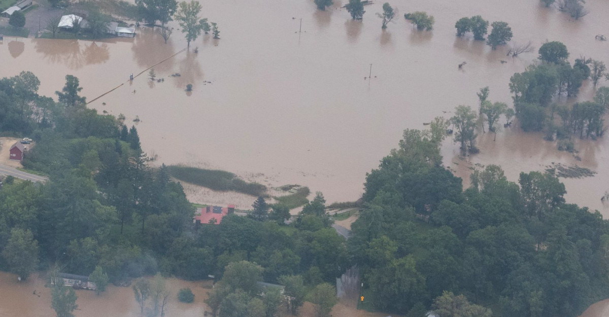
The United States is bracing for another significant weather event, dubbed by meteorologists as a potential “1,000-year-storm.” This week, North Dakota, South Dakota, and Minnesota are in the crosshairs, with severe storms expected to bring flash flooding, large hail, damaging winds, and even tornadoes.
Officials and experts are urging residents to prepare as the threat follows on the heels of devastating weather in the South and Midwest earlier this summer.
According to AccuWeather and the National Weather Service, communities across the region should remain alert and follow critical safety protocols should conditions deteriorate.
Widespread Storm Risks Set Stage for Upper Midwest
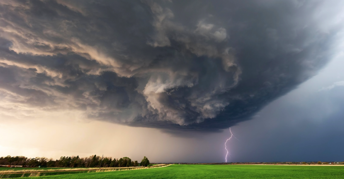
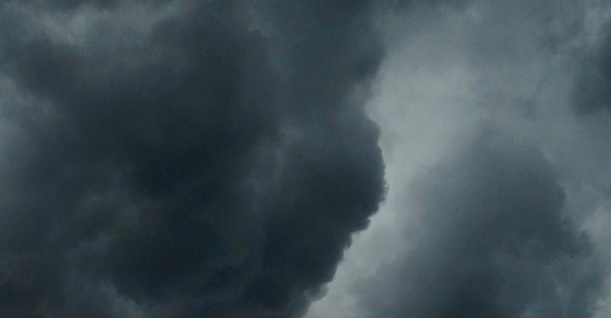
Severe weather threatens the Upper Midwest as a powerful cold front interacts with unusually warm and humid air. The affected area extends from eastern Wyoming through the central risk zone in North Dakota, South Dakota, and well into northern Minnesota.
Though the threat has somewhat diminished, AccuWeather meteorologists still anticipate strong thunderstorms that could lead to heavy rainfall, wind gusts exceeding 70 mph, and large hail.
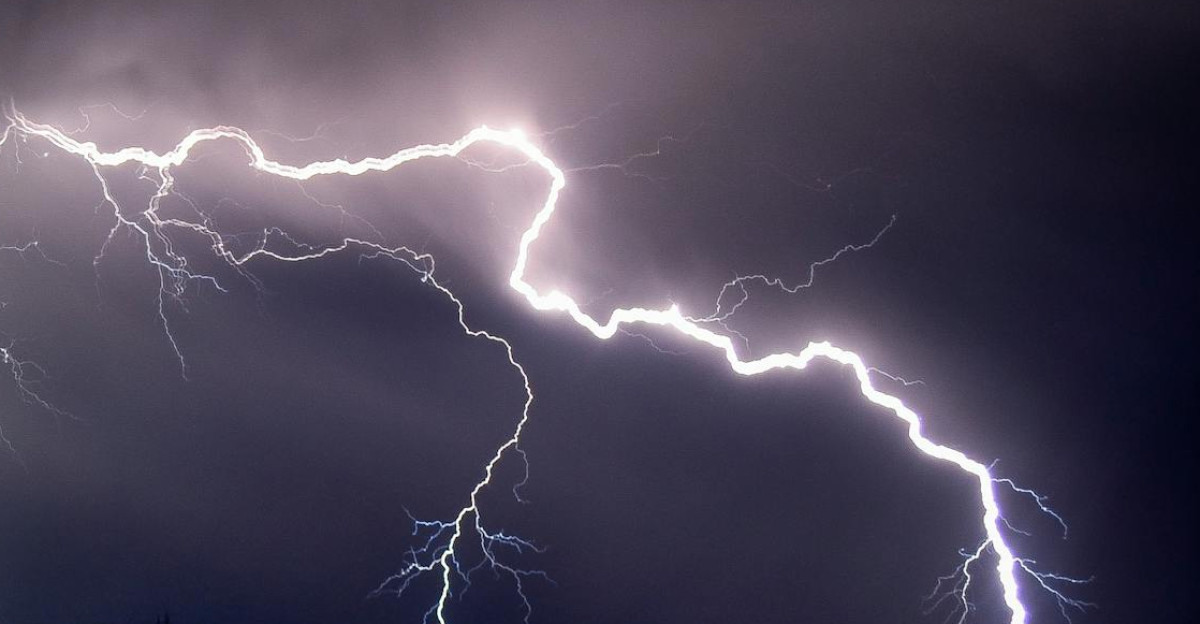
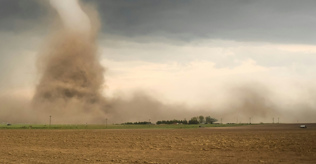
National Weather Service advisories emphasize “an elevated risk of damaging winds and isolated tornadoes sweeping across the region” as the weather system intensifies.
What Makes This Storm Unusual?
Experts at AccuWeather describe the current setup as “pattern-changing,” involving a rare collision of cold front with moist, unstable air masses. According to FOX Weather, such atmospheric dynamics are known to trigger outbreaks of severe thunderstorms and increase the probability of flash flooding and tornadoes.
Meteorologist Chad Merrill from AccuWeather comments, “This severe risk comes just days after storms rattled the northern Plains with reports of damaging wind gusts and hail, so the ground is already saturated and vulnerable.” This compounded risk factor increases the potential for catastrophic impacts.
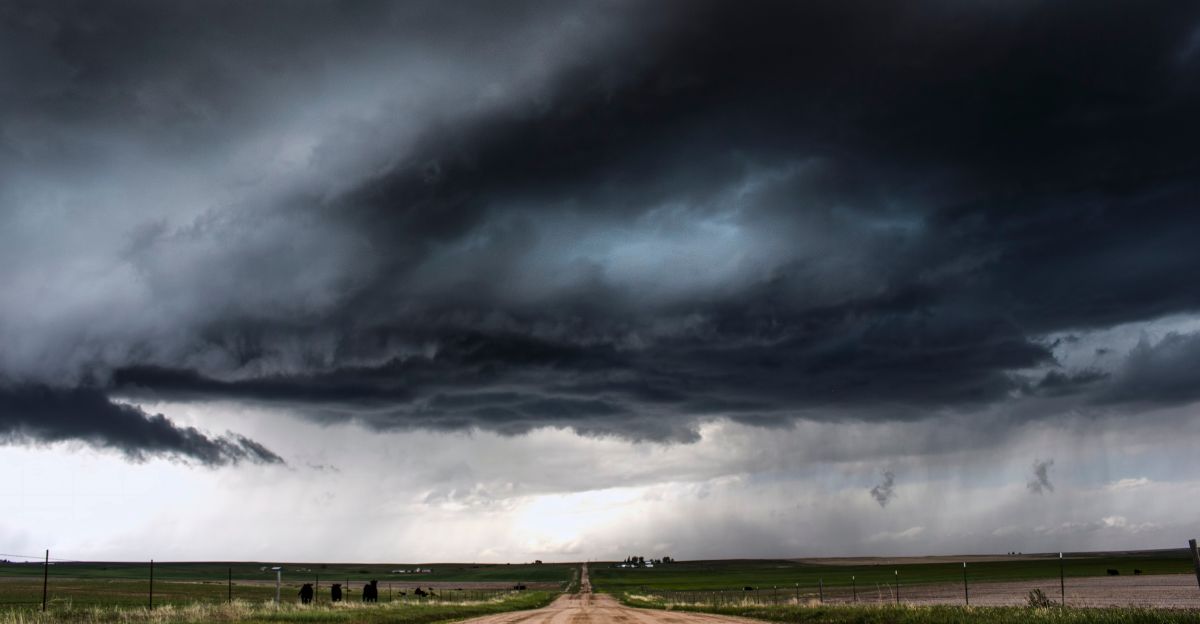
North Dakota’s Immediate Threat
North Dakota is expected to experience some of the most intense impacts from this weather system, with rapid storm development expected Monday afternoon and evening.
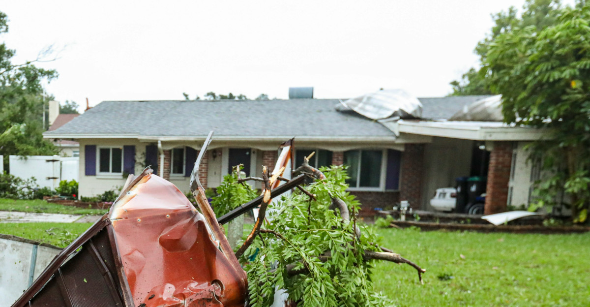
The National Weather Service and local media partners highlight concerns over “clusters of thunderstorms moving east, capable of producing strong 70+ mph winds,” hail up to ping-pong ball size, and heavy downpours leading to flash flooding.
The cities of Fargo and Grand Forks are expected to be the hardest-hit areas. Local officials are preparing emergency protocols in anticipation of potential tornadoes and widespread power outages.
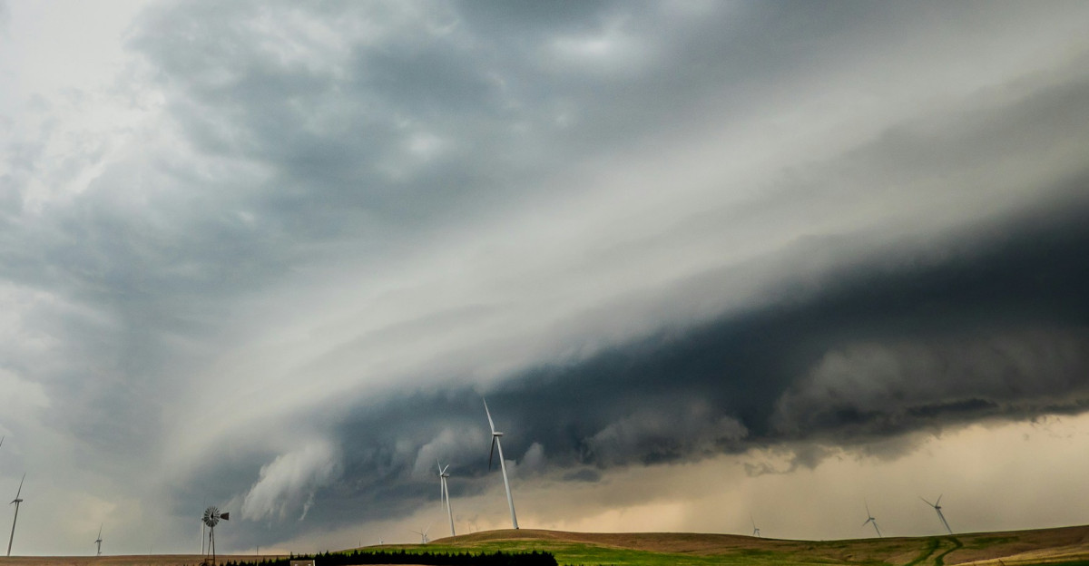
South Dakota Braces for Storm Surge
South Dakota is under an “enhanced risk” for severe thunderstorms, particularly in the James River Valley and surrounding counties. The latest briefings from the National Weather Service show that conditions for damaging wind events are probable, with the main threat window extending late into the evening and possibly into the overnight hours.
“A level three out of five enhanced risk has been declared,” states the official NWS report, urging all residents to be aware of rapidly changing conditions and be ready to take shelter if warnings are issued. Communities are also keeping a watchful eye for the rapid-onset tornadoes, which can manifest with little notice.
Minnesota: Hot and Humid, and Then the Deluge
Minnesota is experiencing intense heat ahead of the storm, with feels-like temperatures nearing 100 degrees in parts of the Twin Cities. Following the heat, meteorologists predict strong to severe storms will develop in the north before racing toward central and southern regions by evening.
According to CBS News, these storms may deliver “hail, wind, heavy rain, and a risk of flash flooding,” causing rapid water level rises and localized flooding in low-lying areas. Meteorologist Joseph Dames warns, “Be alert for multiple waves of storms as conditions may change rapidly through early Wednesday.”
Other States on Alert
While the initial focus is on North Dakota, South Dakota, and Minnesota, states such as Nebraska, Iowa, Colorado, Kansas, and the Upper Peninsula of Michigan are not immune.
AccuWeather indicates the same system could extend dangerous conditions to these regions throughout the week, spurring additional rounds of severe weather with similar hazards: destructive winds, large hail, and isolated tornadoes. Residents in these areas are cautioned to remain vigilant and review severe weather safety plans regularly.
Safety First: Tips from the National Weather Service

The National Weather Service emphasizes the importance of simple safety steps: “Get in, get down, cover up.” If you are outdoors, move inside immediately. Stay away from windows and seek shelter in the most interior room on the lowest floor, preferably a basement.
Use pillows, blankets, or even helmets to protect your head from flying debris, as these are the leading causes of injury and death during severe storms. NWS guidance stresses the importance of a NOAA weather radio for up-to-date warnings.
Expert Perspectives: Preparing and Responding

AccuWeather Senior Meteorologist Chad Merrill highlights the unpredictable nature of such storms: “The potential for chains of severe thunderstorms means even prepared communities can be caught off guard,” Merrill warns.
“Continue to monitor alerts and take shelter immediately if warnings are issued.” The National Weather Service agrees, reiterating: “Failure to prepare is preparing to fail”. Experts encourage assembling emergency kits and knowing your local emergency routes.
Community Efforts and Emergency Preparation
Local governments and first responders in all three states are working around the clock to prepare for the storm’s arrival. The preparations involve pre-positioning sandbags, setting up emergency shelters, and alerting utilities for rapid power restoration.
Schools and civic centers are coordinating with authorities to provide safe spaces for those without adequate shelter. Community outreach focuses on vulnerable groups, including the elderly and disabled, who may require extra assistance during a severe weather event.
What to Do After the Storm Passes
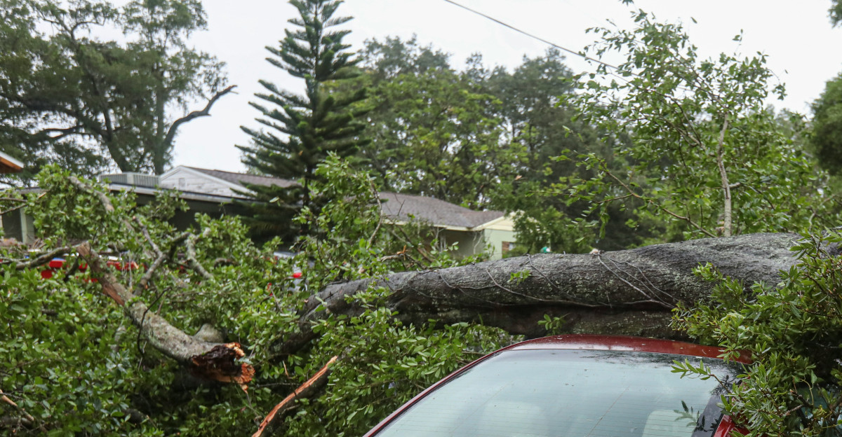
Once the hazard has cleared, residents are advised to continue monitoring official updates for follow-up storms and flooding, which can occur in the storm’s wake. The National Weather Service urges caution while inspecting property or traveling, as hazards like downed power lines, flooded roadways, and lingering debris may remain.
Only return home or resume travel after authorities have deemed it safe. Remember: “Turn around, don’t drown” when faced with flooded areas or roadways.


