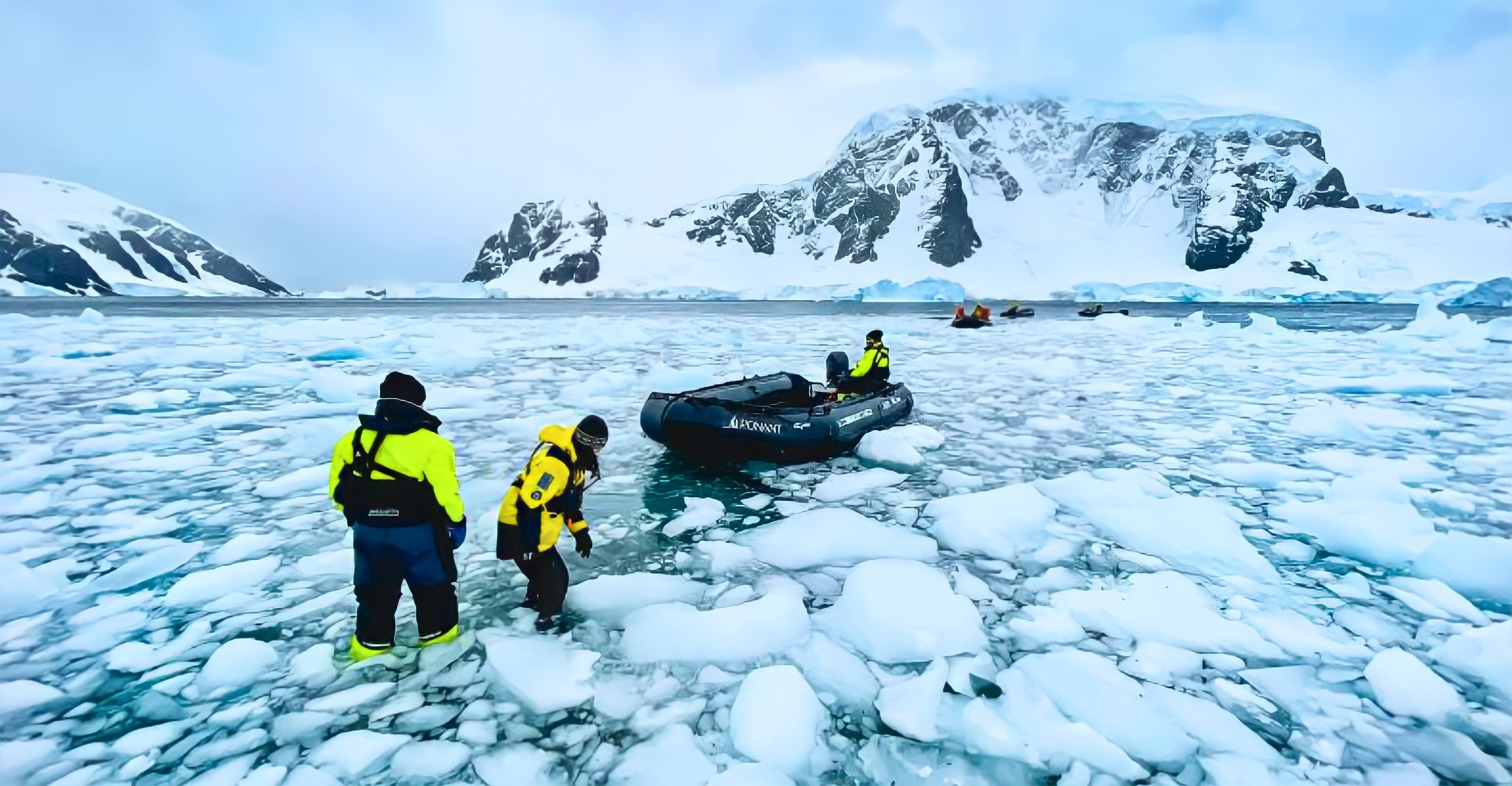
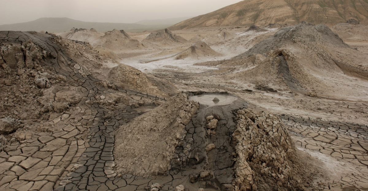
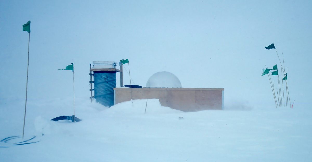
Just when we think we’ve seen it all, the world throws another curveball, showing us just how remarkable it truly is. Deep beneath Antarctica’s frozen landscapes lies a colossal mountain range that has remained completely hidden for millions of years. Although these mountain ranges were first detected by Soviet scientists in the 1950s using seismic techniques, they remain quite a mystery to this day. Puzzling researchers as to how they got there in the first place.
The Gamburtsev Mountains
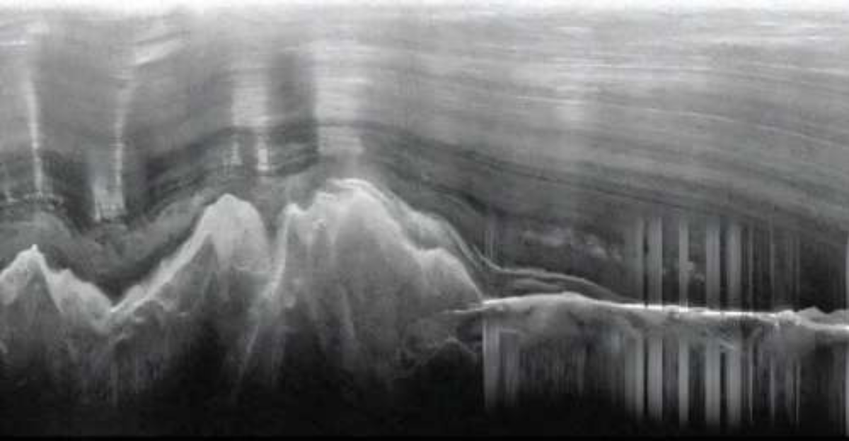
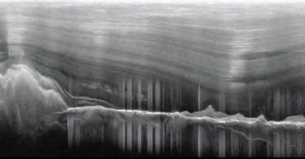
This story begins in 1958 when a Soviet Antarctic expedition, equipped with seismic instruments, detected an unexpected mountainous landscape buried deep beneath the East Antarctic ice sheet. Completely hidden by up to 1.8 miles of ice, these mountains quickly became one of the least understood tectonic features on the planet. The range was named after Russian geophysicist Grigoriy Gamburtsev, and stretches around 745.6 miles with peaks rising nearly 9843 feet high, rivaling the European Alps in scale.
This finding was so mind-boggling that researchers are still trying to understand how this could have happened and how this mountain range stayed hidden for millions of years.
Tectonic Stability of East Antarctica
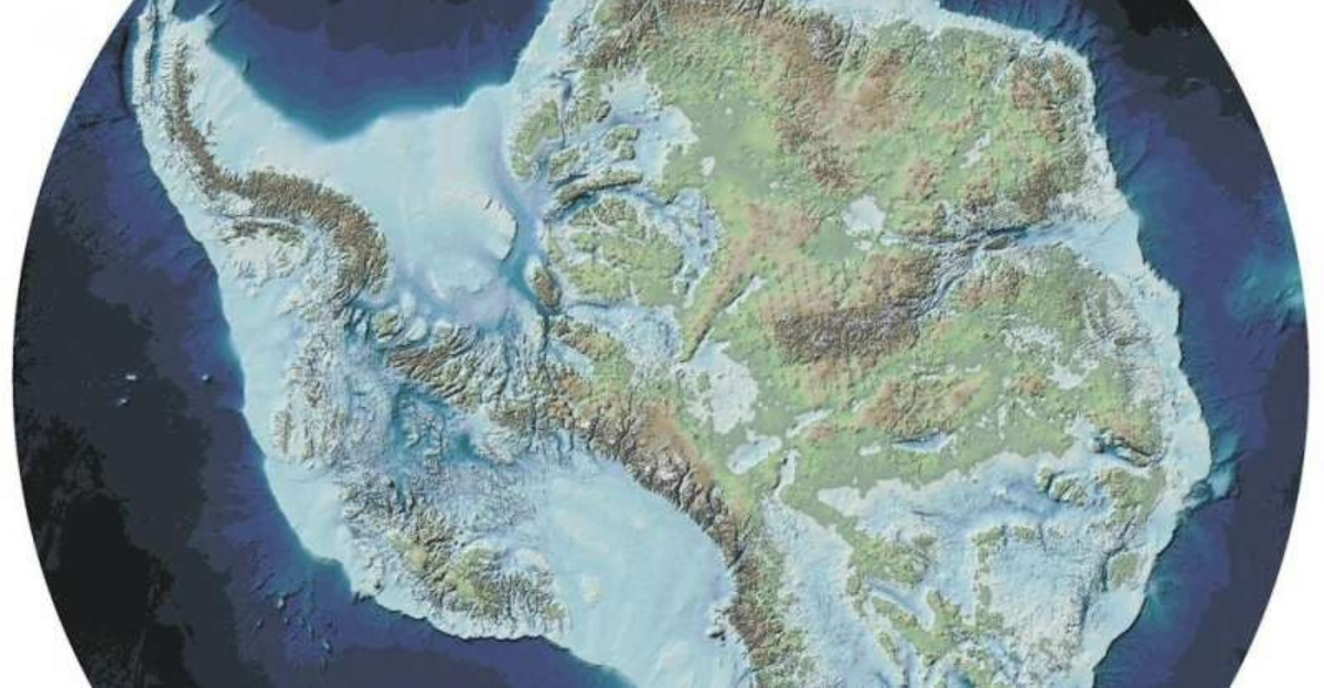
East Antarctica has been tectonically stable for millions of years, unlike many mountain ranges that form at active tectonic boundaries. The East Antarctic Shield covers about 73% of the continent and has remained largely stable since the early Proterozoic, with its basement rocks dating back billions of years. Despite some tectonic activity related to the formation and breakup of supercontinents like Gondwana and Pangea hundreds of millions of years ago, the interior of East Antarctica has experienced minimal tectonic disturbance since the Cretaceous period.
The thick, cold lithosphere and relatively low seismicity contribute to the preservation of ancient geological features, including the Gamburtsev Subglacial Mountains, which remained hidden for many years.
The Remarkable Preservation
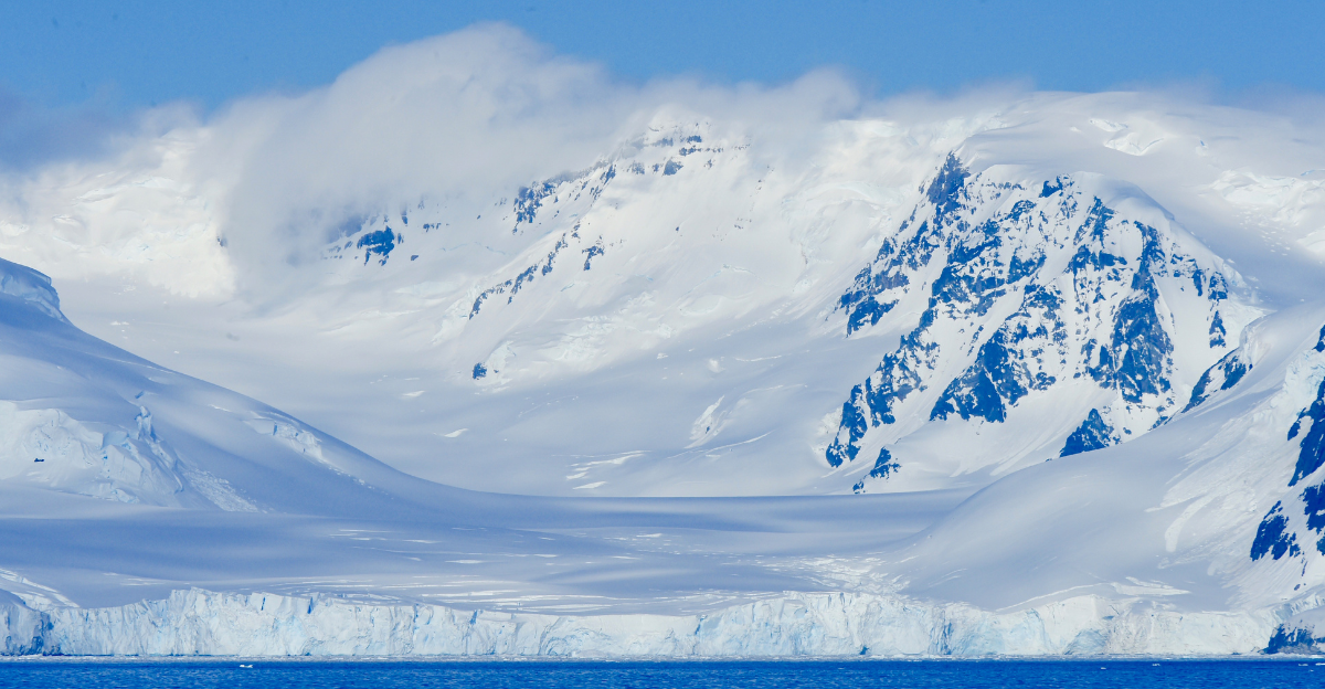
One of the biggest questions on researchers’ minds is how this mountain range stayed pristine over millions of years. This mountain range has sharp peaks and deep valleys, which is unusual because most mountain ranges erode over time, leading to smoother landscapes. The theory is that this preservation is largely due to the unique interplay between the thick ice sheet and subglacial water systems. The slow-moving ice causes minimal erosion, while a network of subglacial rivers and lakes flows through the valleys, with water often pushed uphill by the immense pressure of the overlying ice.
This water then refreezes on the colder ridgelines, creating a protective frozen mantle that shields the mountains from wear and tear. It’s like an anti-aging cream for mountains, and it does the trick.
How This Mountain Range Was Formed
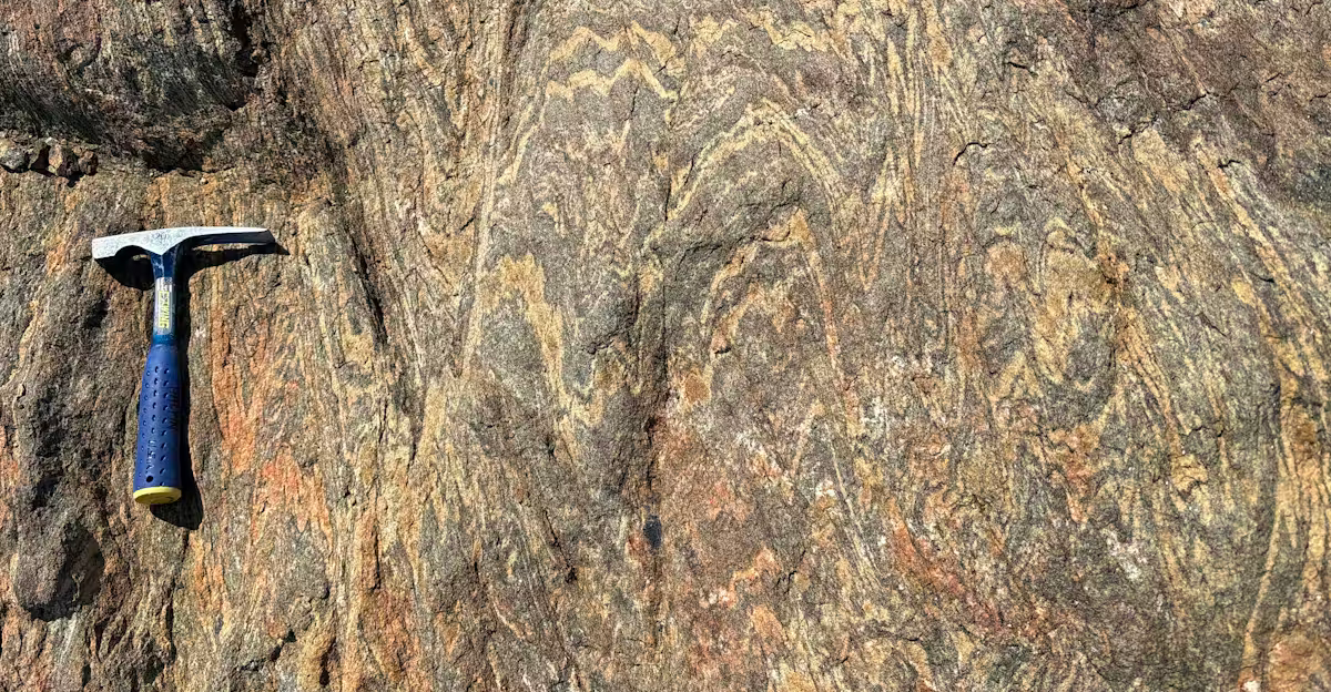
New research has uncovered that the formation of this mountain range is closely tied to the ancient tectonic events that led to the birth of the supercontinent Gondwana over 500 million years ago. During this time, several large landmasses collided in a colossal tectonic clash, crushing and thickening the Earth’s crust beneath what is now East Antarctica. This collision generated immense heat and pressure, creating a thick crustal root deep beneath the mountains and initiating mountain-building. Over hundreds of millions of years, these mountains underwent cycles of erosion and rejuvenation.
This proves just how powerful continental collision and tectonic activity can be, and explains how the Gamburtsev Mountains formed and have been preserved beneath Antarctica’s ice sheet.
Gravitational Spreading
The Gamburtsev Mountains were shaped through gravitational spreading after their initial formation millions of years ago. Intense heat caused the lower crust to become partially molten and more ductile as the continents collided and the crust thickened beneath the mountains. This hot, dense material began to flow sideways beneath the range, like toothpaste being squeezed from a tube.
This lateral flow caused the overlying mountains to sag and partially collapse under their weight, redistributing mass and reducing the height of some peaks while preserving a thick crustal root deep below.
The Mountain Range’s “Root”
Beneath the Gamburtsev Mountains lies a remarkably thick and dense crustal “root” that extends about 8 to 11 miles deep into the Earth’s mantle. This crustal root, with an overall crustal thickness reaching up to 37 miles, acts like a deep anchor, balancing the mass of the mountains and maintaining their elevation despite millions of years of erosion and tectonic quiescence.
The root’s remarkable buoyancy and strength are key to explaining how the Gamburtsev Mountains have maintained their high altitudes and youthful topography beneath the ice sheet for millions of years.
Innovative Research Techniques
Scientists cannot directly sample the rocks because the mountains are buried beneath miles of ice. Instead, they analyze tiny zircon crystals in sandstone deposits carried by ancient rivers that once flowed from the mountains. These crystals act as natural clocks, allowing researchers to reconstruct the mountains’ formation timeline. Complementing radar data, satellite remote sensing of ice surface morphology helped refine maps of the subglacial valleys and ridges, revealing a network of fluvial drainage systems.
The Gamburtsev Mountains and Climate Research
Studying these hidden mountains will help researchers better understand Antarctica’s ice dynamics and how they impact the climate. The discovery of liquid water beneath the ice sheet in the valleys of the Gamburtsevs, where water regularly thaws and refreezes, actively modifies the ice structure and affects ice thickness by as much as half in some areas.
This subglacial hydrology impacts ice flow and stability, making the mountains a key factor in modeling past and future climate changes.
Future Directions in Antarctic Research
The hidden mysteries of the Antarctic keep surprising us year after year, but every discovery opens up new frontiers for research and the understanding of these remarkable findings. This finding, in particular, reshapes our understanding of Earth’s geological history and the forces that have shaped continents and climate over hundreds of millions of years. By using advanced technologies and coordinated international programs, researchers are peeling back the layers of the Antarctic to help us better understand the world around us.
Explore more of our trending stories and hit Follow to keep them coming to your feed!

Don’t miss out on more stories like this! Hit the Follow button at the top of this article to stay updated with the latest news. Share your thoughts in the comments—we’d love to hear from you!


