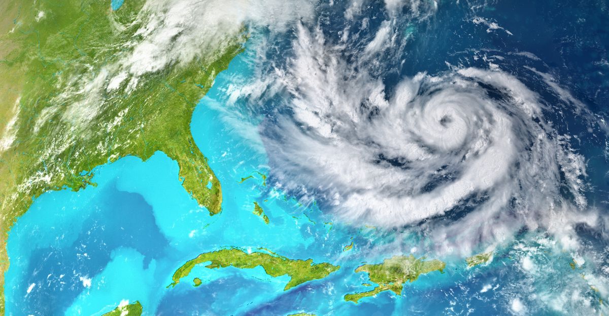
Millions of Americans are on alert as a large weather system forms near Florida, threatening to disrupt Fourth of July holiday plans across the Southeast. According to the National Hurricane Center (NHC), this system has a 20% chance of becoming a tropical or subtropical storm over the next seven days.
The coastline along the western end of the Gulf of Mexico, from Apalachee Bay to Tampa Bay, including parts of Florida, Georgia, Alabama, Mississippi, and the Carolinas, is at the highest risk for stormy conditions.
Potential Impacts Despite Low Development Odds
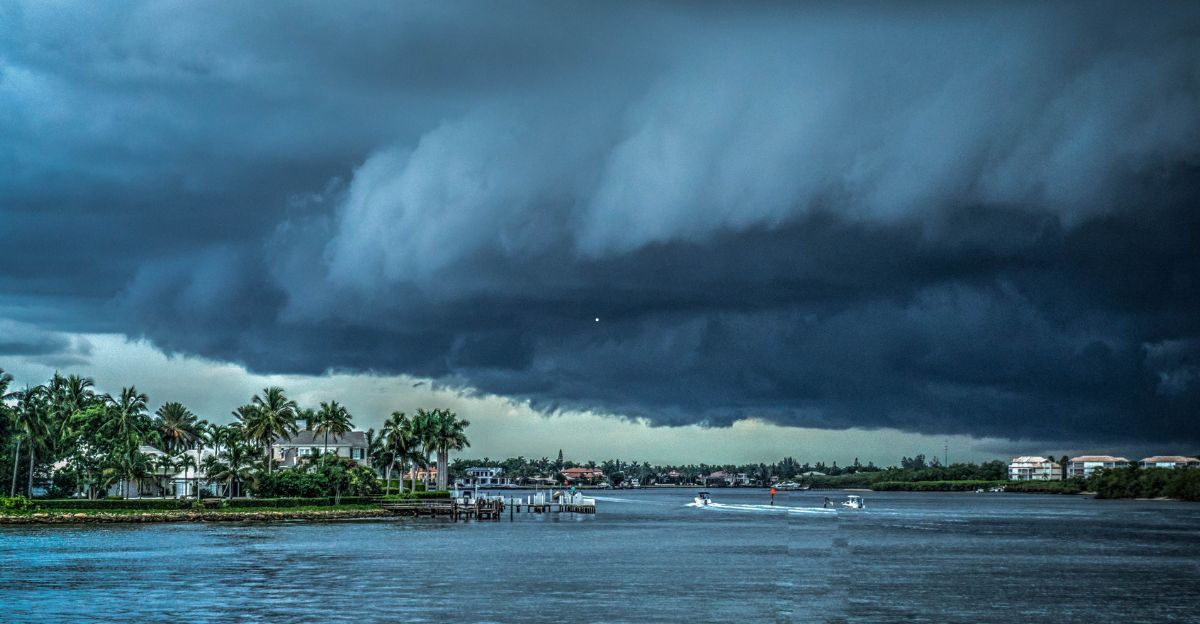
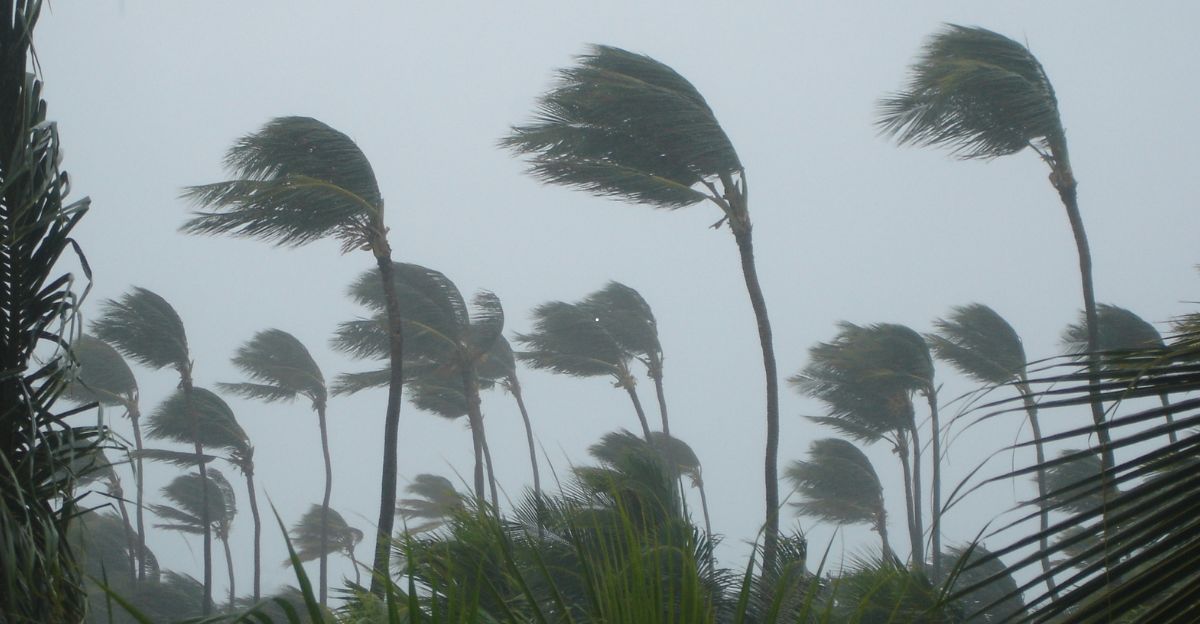
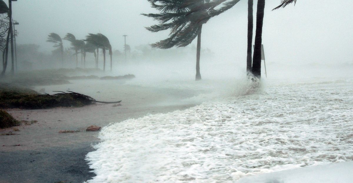
Even if the system does not develop into a tropical storm, forecasters caution it can still bring heavy rains, gusty winds, dangerous surf, and life-threatening rip currents.
Meteorologist Zack Shields from FOX 7 News noted that the disturbance won’t affect Texas but could cause significant weather hazards along Florida’s Gulf and Atlantic coasts. Residents and travelers are urged to stay vigilant, especially those planning beach outings during the holiday weekend.
Meteorological Conditions Favor Storm Formation
Warm ocean waters and low wind shear are contributing to an environment for storm formation. According to Michael Lowry, a NOAA hurricane analyst, the elevated water temperatures and lingering frontal boundaries increase the likelihood of tropical storm development in the coming days. The system currently extends from the northeastern Gulf of Mexico across Florida and into the Atlantic waters off the Southeast coast.
Heavy Rainfall Expected Across Florida

WPTV First Alert Weather meteorologist Chris Sowers, noted that several inches of rain could fall between Wednesday and Sunday, coinciding with peak holiday travel and outdoor activities.
The National Weather Service’s Tallahassee region forecasts daily rain chances of over 85% through July 2, with some southern coastal locations potentially seeing double-digit rainfall totals. The heaviest amount of rainfall is projected to occur on July 3,with flooding risks rising accordingly.
Storm Development and Naming Conventions
Should wind speeds increase, the disturbances could escalate to a tropical depression, then a tropical storm, and possibly a hurricane. The NHC assigns names only when sustained winds reasch at 39 mph.
If the system intensifies, it would be named Chantal, following Tropical Storm Barry, which recently made landfall in Mexico. There are currently no watches or warnings in effect, but officials continue close monitoring.
Official Warnings and Preparedness Advice
The Florida Division of Emergency Management states the disturbance currently presents no imminent threat over the next five to seven days, but warns of weather hazards along both coasts.
Jamie Rhome, NHC Deputy Director, also emphasized the need for early advisories to assist residents in preparing. Meteorologist Jennifer Gray from Weather.com, advised residents to consider alternate plans for outdoor events, as heavy rain is likely during the holiday weekend.
Broader Context of the 2025 Hurricane Season
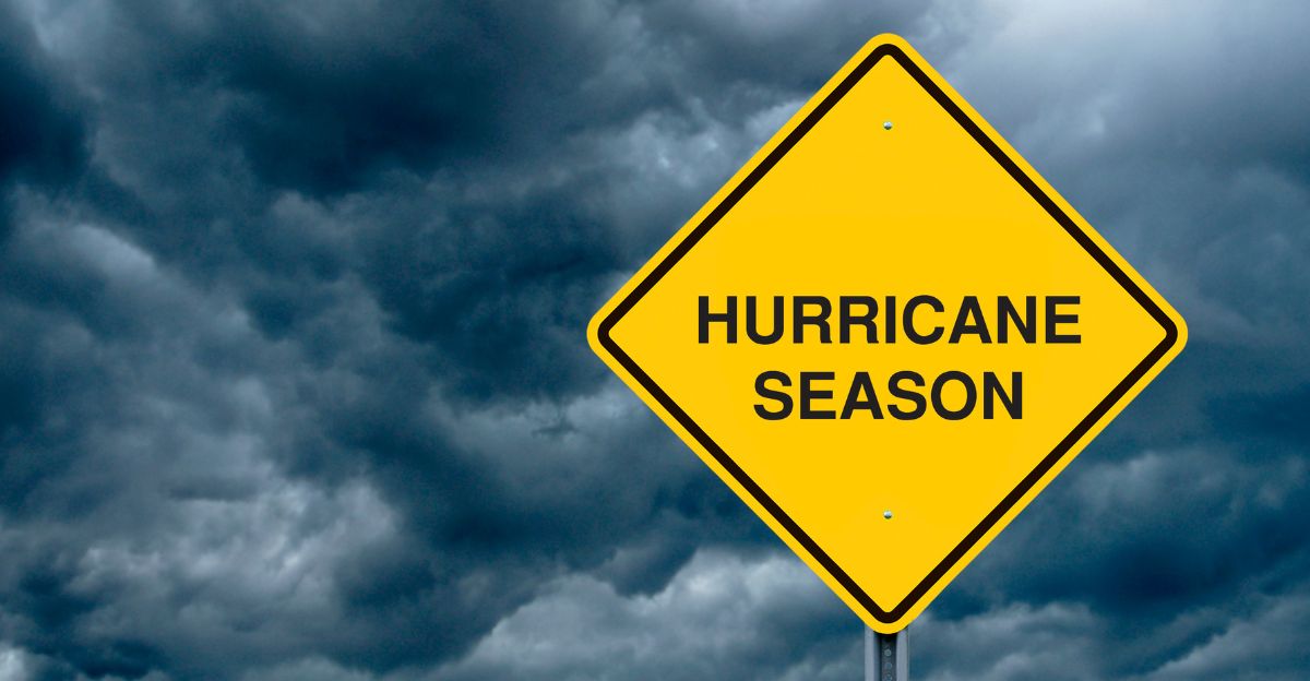
The 2025 Atlantic hurricane season started on June 1 and runs through to November 30. The U.S. Geological Survey (USGS) is fully prepared to support communities throughout the season by providing critical information before, during, and after storms to safeguard lives and property.
This season has seen relatively low hurricane activity so far, despite warm sea surface temperatures and La Niña conditions that typically fuel storms.
Regional Flood and Surf Concerns
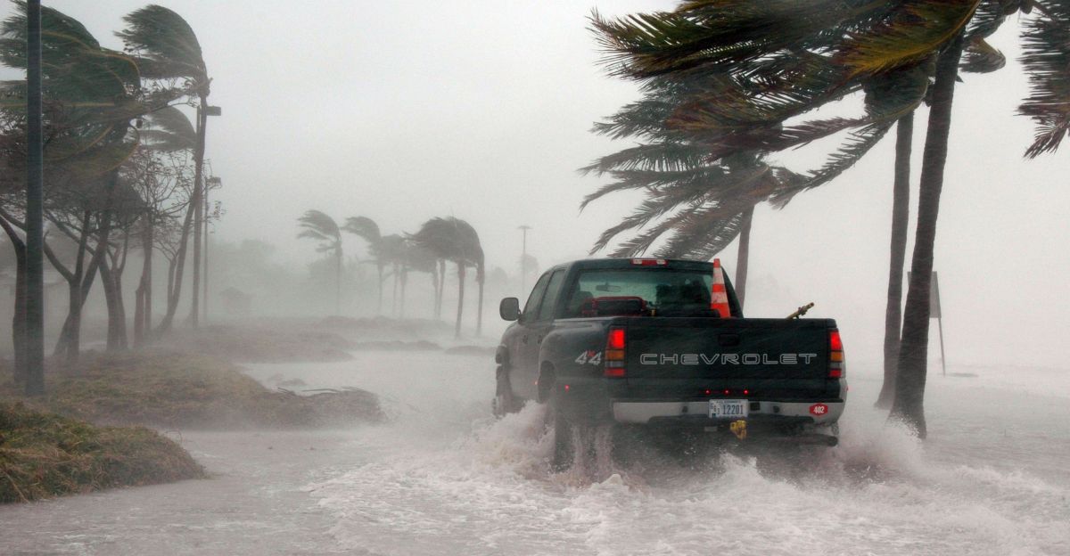
Localized heavy rainfall could lead to urban and low-lying area flooding, particularly where storms become strong. The Weather Prediction Center has placed parts of Florida under flash flood threat levels, including an area along the Gulf Coast from Perry to Sarasota, where the danger has been increased. In addition, rough surf and dangerous rip currents are expected to increase hazards for beachgoers.
Expert Insights on Tropical Threats
Michael Lowry of NOAA remarked, “Considering the elevated water temperatures and the likelihood of old frontal boundaries spawning systems this time of year, it wouldn’t be unexpected for development chances increase.” He emphasized the importance of monitoring evolving conditions closely as the holiday approaches.
Recommendations for Residents and Travelers

Residents and visitors in the affected areas are advised to monitor local weather reports and NHC advisories regularly. Local emergency officials advise residents to have a hurricane preparedness plan in place, with a focus on being prepared for heavy rain, flooding, and high winds. Since it’s a holiday weekend, flexibility in plans and increasing awareness are key to safety.


